Zoe Bauer · 7 September 2026
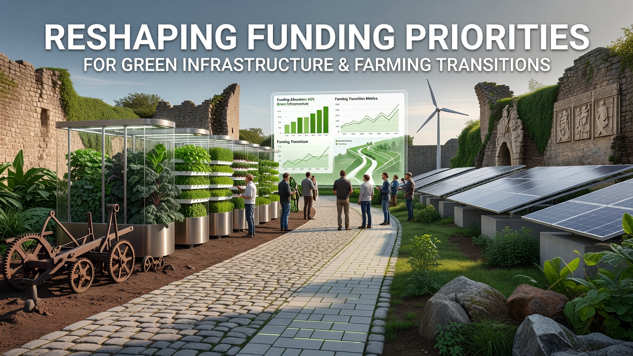
Medieval Pathways Reshaping Funding Priorities for Green Infrastructure and Farming Transitions
Medieval pathways across Europe once connected villages, markets, and grazing lands through networks of sunken lanes, drover routes, and field boundaries that supported mixed farming systems. These routes now inform contemporary approaches to allocating resources for green infrastructure projects and agricultural shifts toward lower-impact methods. Data from the European Environment Agency shows that regions preserving such historical corridors have seen increased investment in biodiversity corridors since 2023.
Historical Context of Medieval Land Networks
Archaeological surveys in England and France reveal that many medieval trackways aligned with natural contours to minimize soil erosion while allowing livestock movement between open fields and common lands. These systems integrated hedgerows, ponds, and woodland strips that functioned as early examples of integrated land management. Studies published by the University of Exeter indicate that such layouts reduced flood risks in low-lying areas compared to later enclosure patterns that straightened routes for mechanized farming.
Researchers note that ridge-and-furrow patterns associated with these pathways maintained soil structure over centuries. Funding bodies now examine these features when designing grants that combine heritage preservation with habitat restoration. In September 2026 the EU Common Agricultural Policy review will assess pilot programs that map medieval routes onto new subsidy frameworks for carbon sequestration on farmland.
Current Funding Mechanisms and Policy Shifts
Government programs in several member states direct resources toward reconnecting fragmented landscapes using alignments derived from medieval surveys. The Canadian federal government’s agricultural resilience fund, for instance, has allocated resources to provinces exploring similar historical mapping techniques for prairie wetland corridors. According to reports from the Food and Agriculture Organization of the United Nations, these initiatives emphasize multi-functional paths that support both wildlife movement and low-emission transport for produce.
Observers note that grant criteria increasingly require applicants to demonstrate how proposed green infrastructure builds upon pre-existing linear features. This requirement stems from evidence compiled by the Australian Bureau of Agricultural and Resource Economics showing that farms incorporating older track networks achieved faster improvements in water retention during drought periods between 2020 and 2025.
Case Examples from European Regions
One project in the Cotswolds uses LiDAR data to identify buried medieval holloways and then channels funds toward restoring adjacent field margins for pollinator habitats. Another initiative in the Loire Valley links ancient pilgrimage routes with modern cycle paths designed to reduce tractor traffic on sensitive soils. Both efforts receive support through national heritage agencies that coordinate with agricultural ministries on shared metrics for biodiversity gains and emission reductions.
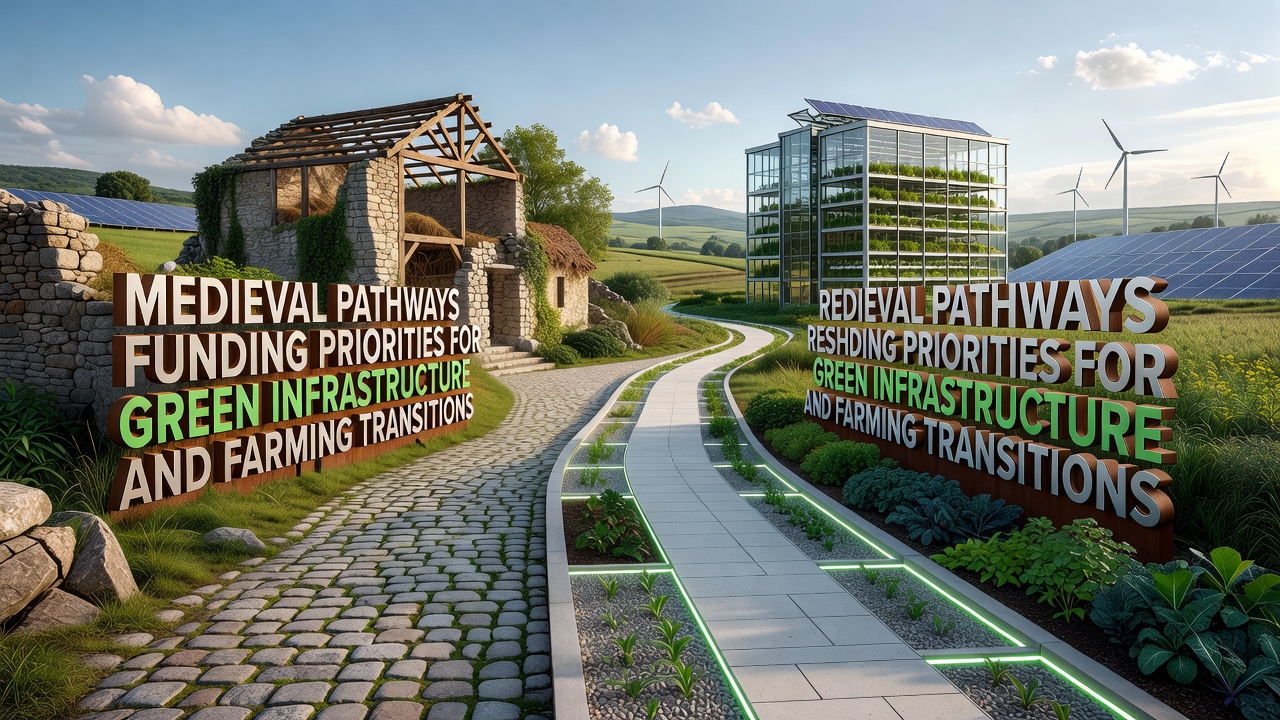
Local authorities report that combining these historical alignments with current precision agriculture tools allows more targeted application of cover crops and buffer strips. Data collected through the Horizon Europe research framework indicates measurable increases in soil organic matter along restored segments within three growing seasons.
Challenges in Implementation
Mapping inaccuracies and conflicting land ownership records create obstacles when translating medieval layouts into precise funding boundaries. Some landowners express concern that rigid adherence to old routes may limit flexibility for new irrigation or renewable energy installations. Policy documents from the U.S. Department of Agriculture highlight parallel issues in regions attempting to overlay historical Native American trail systems onto contemporary conservation easements.
Yet coordinated workshops between historians, agronomists, and financial officers have produced hybrid mapping standards that accommodate both heritage accuracy and operational needs. These standards appear in draft regulations scheduled for consultation ahead of the September 2026 policy update.
Conclusion
Medieval pathways continue to supply practical templates for directing public and private capital toward green infrastructure that supports farming transitions. Evidence gathered across multiple continents demonstrates that integrating these ancient networks into modern planning yields measurable environmental and economic returns. As review cycles advance toward September 2026, the emphasis on historically informed corridors is expected to expand within international agricultural funding streams.