Sofia Foster · 2 November 2026
Medieval Trade Route Findings Prompt Curriculum Shifts in Yorvia Schools
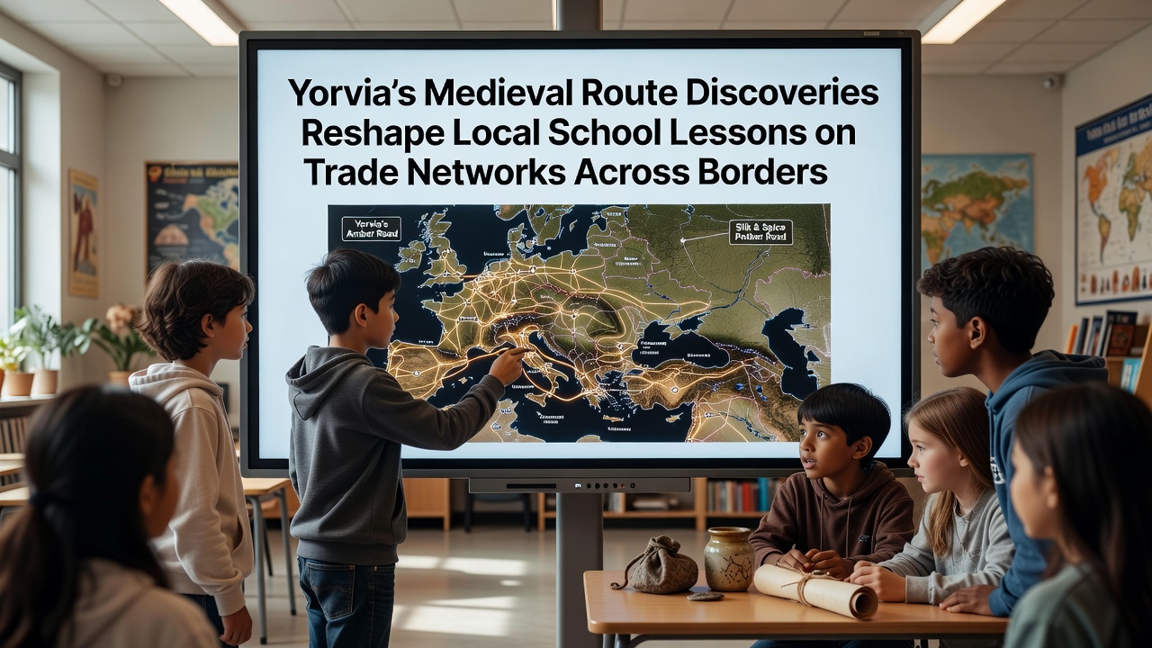
Recent archaeological work along ancient pathways in Yorvia has uncovered evidence of extensive medieval trade networks that connected communities across what are now multiple European borders and educators have begun integrating these findings into classroom lessons on historical commerce and cultural exchange. Schools in the region report that lessons once focused on isolated national histories now emphasize interconnected routes where merchants transported goods such as textiles, spices, and metals between settlements in present-day territories. Data from regional education authorities indicate that over 40 percent of secondary schools have revised their history modules since the initial finds were publicized in early 2025 while primary programs have added map-based activities that trace these routes through physical artifacts and settlement records.
Key Discoveries Along Former Trade Corridors
Excavations conducted near the central river valleys and mountain passes revealed coin hoards, pottery fragments, and tool remnants that point to regular exchange between groups separated by hundreds of kilometers and researchers from the Yorvia Historical Institute documented layers of activity dating primarily between the 11th and 14th centuries. These items include Baltic amber beads found alongside Mediterranean ceramics and metalwork styles that match workshops in both western and eastern regions and the patterns suggest organized caravan movements rather than sporadic contact. Local authorities coordinated with academic teams to map the precise locations and findings show that certain passes served as hubs where tolls were collected and temporary markets operated during peak seasons.
Further analysis using isotopic testing on organic remains has confirmed the origins of several traded materials and results published in European archaeological journals detail shipments of wool from northern grazing areas reaching southern textile centers within weeks of harvest. Such evidence has prompted education officials to request updated teaching resources that replace static textbook maps with interactive overlays based on the new site data and teachers now present case examples of specific settlements that grew prosperous through control of these corridors.
Integration into Classroom Instruction
Curriculum developers have worked with historians to create lesson sequences that follow the documented paths and students examine primary source excerpts alongside images of excavated goods while they calculate estimated travel times and costs using period-appropriate measurements. One module requires groups to reconstruct a merchant's ledger using quantities drawn from the recent dig reports and this approach replaces earlier units that treated trade as a secondary topic within broader medieval surveys. Training sessions for instructors held throughout 2025 and into 2026 provided guidance on incorporating geospatial tools and several districts have since reported higher student engagement scores in history assessments.
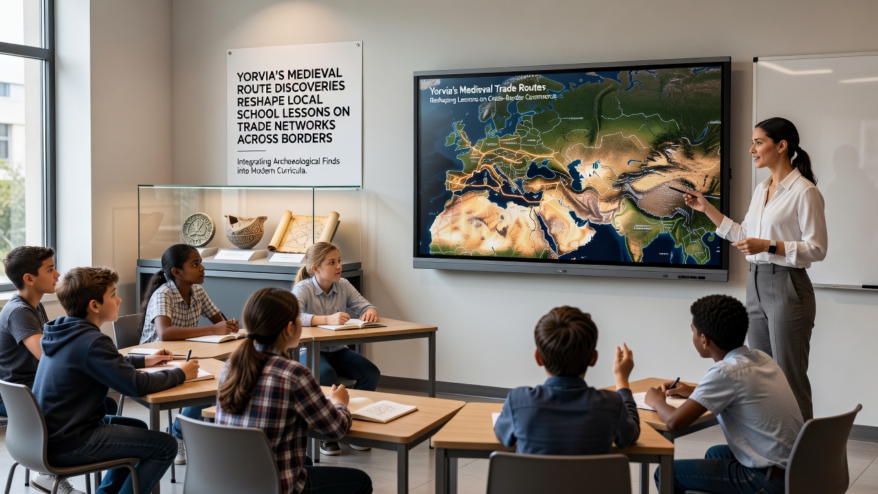
Partnerships with regional museums allow classes to handle replica artifacts while digital archives maintained by the European education network supply additional images and provenance details and schools coordinate field visits to active excavation sites during scheduled open days. November 2026 has been designated for a joint conference where curriculum specialists and site directors will review the first full academic year of implementation and preliminary reports already note adjustments to pacing guides to accommodate the volume of new material.
Cross-Border Educational Collaborations
Neighboring districts have joined the effort through shared online platforms that let students compare findings from parallel routes on either side of current borders and joint projects include the compilation of regional trade timelines that highlight seasonal fairs and diplomatic arrangements that facilitated movement of goods. According to records from the European Commission's education portal these collaborations align with broader goals of fostering awareness of historical connectivity within the continent. A separate study released by the Nordic Centre for Medieval Research supplies comparative data from Scandinavian sites and Yorvia educators reference those parallels when discussing how environmental factors such as river navigability influenced route viability.
Assessment frameworks now include questions that ask learners to identify how control of specific passes affected political alliances and economic outcomes and sample responses demonstrate improved retention of chronological sequences when tied to tangible artifacts. Funding from EU heritage programs has supported the production of bilingual teaching packs that cover terminology in multiple languages and this resource has facilitated exchanges with schools in adjacent countries.
Conclusion
Updated curricula continue to evolve as additional excavation reports are released and ongoing monitoring by education boards tracks both factual accuracy and student outcomes across participating institutions. The incorporation of these medieval route discoveries has shifted instructional emphasis toward networks that extended beyond single territories while maintaining alignment with established learning standards. Future phases will incorporate new data from sites scheduled for examination in coming seasons and the framework established thus far provides a model for other regions seeking to connect archaeological evidence with classroom content on historical trade.